CURRENT CONDITIONS
Updated
-
Today's Outlook
-
Visibility
-
Snow (cm)24h3day7day
-
Conditions
-
Base (cm)BottomTop
-
Lifts open
-
Runs (%)
-
Temperature (°C)CurrentFeels Like
-
Road
-
Wind (km/h)
-
Barometric Pressure
Conditions
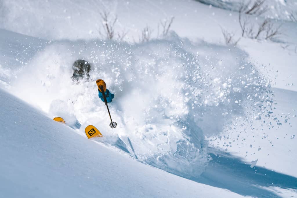
Snow Report of the day.
Apr 05 2025 12:48 PM
What a winter! Our daily Hakuba snow reports have wrapped up for the 2024/25 season. See you next winter.
Reggae Elliss
|
WEATHER GRAPH For 820m - Last updated 5 hours ago |
|
|||||||||||||||||||||||||||||||||||||||||||


SNOW REPORT & LIFT STATUS
Happo-One
Iwatake
Tsugaike Kogen
Hakuba 47
Goryu
Cortina
Norikura
Sanosaka
Jiigatake
Kashimayari
TEMPERATURE
LIFTS OPEN
NEW SNOW
SEASON
BASE DEPTH
SURFACE
LIFT STATUS
TEMPERATURE
LIFTS OPEN
NEW SNOW
SEASON
BASE DEPTH
SURFACE
LIFT STATUS
TEMPERATURE
LIFTS OPEN
NEW SNOW
SEASON
BASE DEPTH
SURFACE
LIFT STATUS
TEMPERATURE
LIFTS OPEN
NEW SNOW
SEASON
BASE DEPTH
SURFACE
LIFT STATUS
TEMPERATURE
LIFTS OPEN
NEW SNOW
SEASON
BASE DEPTH
SURFACE
LIFT STATUS
TEMPERATURE
LIFTS OPEN
NEW SNOW
SEASON
BASE DEPTH
SURFACE
LIFT STATUS
TEMPERATURE
LIFTS OPEN
NEW SNOW
SEASON
BASE DEPTH
SURFACE
LIFT STATUS
TEMPERATURE
LIFTS OPEN
NEW SNOW
SEASON
BASE DEPTH
SURFACE
LIFT STATUS
TEMPERATURE
LIFTS OPEN
NEW SNOW
SEASON
BASE DEPTH
SURFACE
LIFT STATUS
TEMPERATURE
LIFTS OPEN
NEW SNOW
SEASON
BASE DEPTH
SURFACE
LIFT STATUS
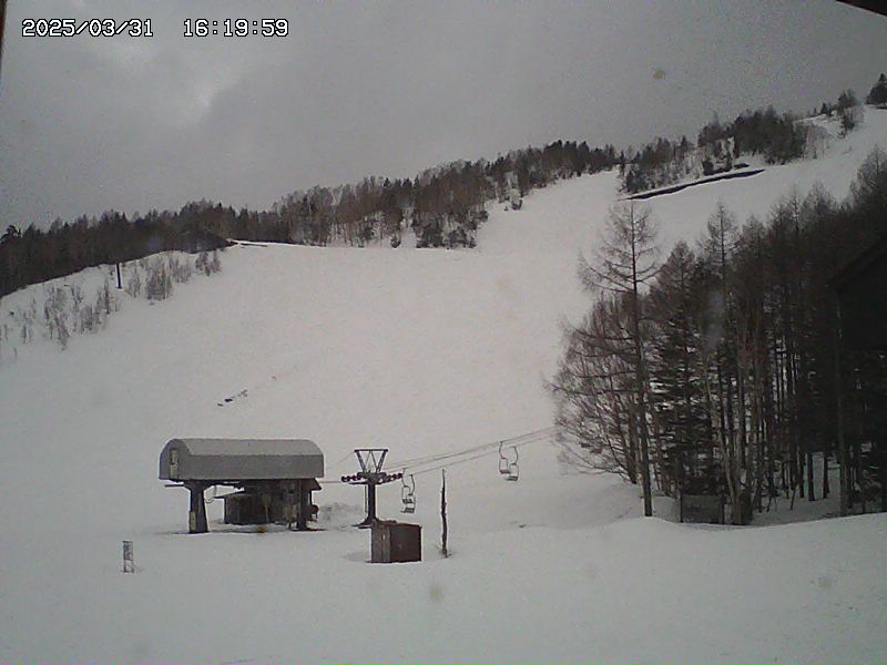
MOUNTAIN CAMS
Happo-One - Usagidaira
Happo-One - Panorama
Happo-One - Gondola Shirakaba
Happo-One - Nakiyama
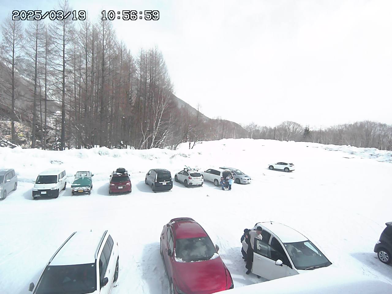
Happo-One - Car Park 3
Hakuba Goryu - 五竜 アルプス平 北側 north
Hakuba Goryu - 五竜 アルプス平 西側 west
Hakuba Goryu - アルプス平 パノラマゲレンデ
Hakuba Goryu - 五竜 第2駐車場
Hakuba Goryu - 五竜 エスカルプラザ玄関
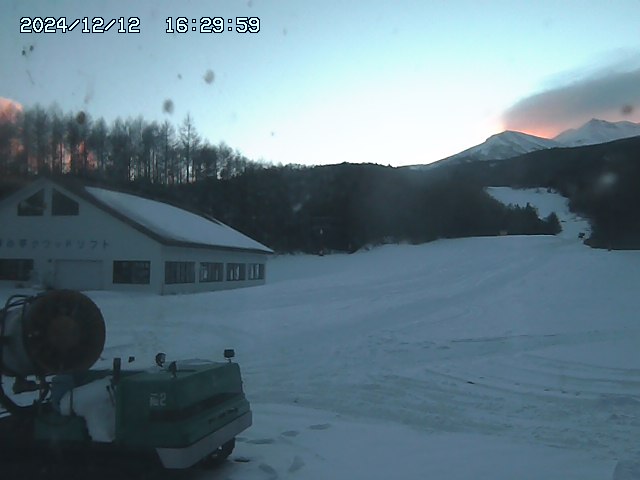
Norikura - Yamaboshi Parking
Norikura - Dream Flat
Norikura - Paradise Course
Norikura - Kamoshika Course

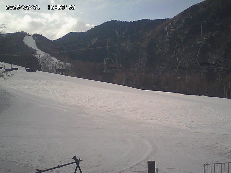
Cortina


DETAILED FORECAST
The Grasshopper has wrapped up his weekly Japan forecasts for for the 2024/25 season. He’s having a couple of months R&R and will be back in June with his Australian and New Zealand forecasts.
And, of course, Japan’s best snow forecasts will resume in December 2025.
SNOWFALL CHART
Still can not find what you searching for?
Popular